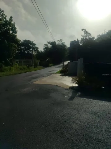
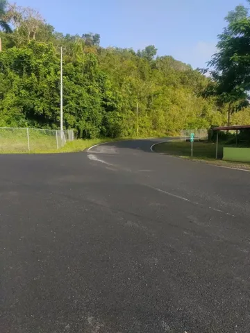
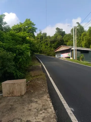
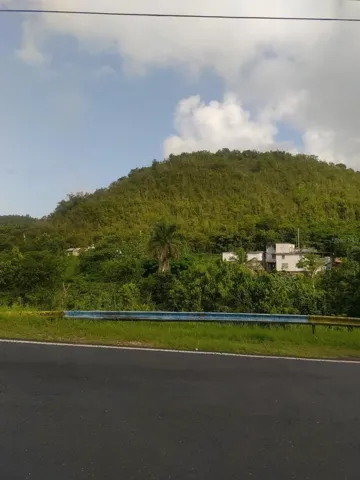
Carr 821 Km 1.9, Corozal, Puerto Rico 00783
- $250,000
- Land
- Sqft
Description
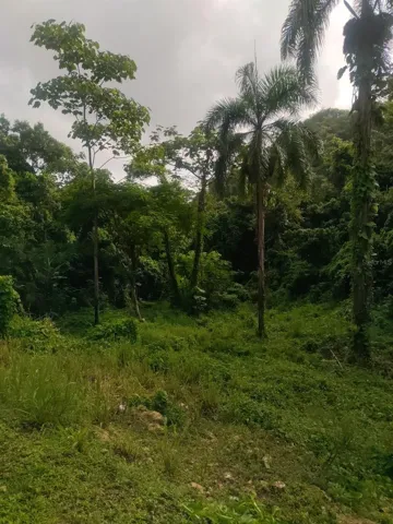
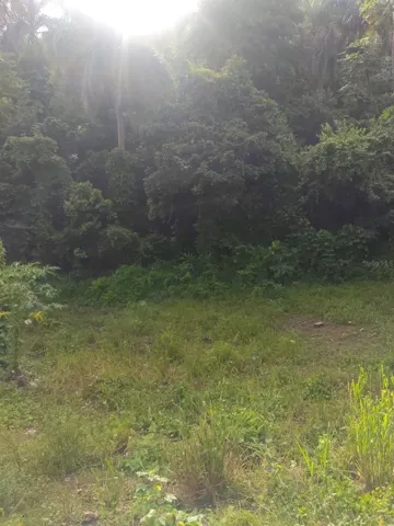
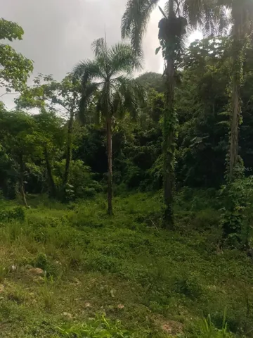
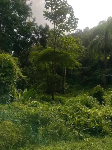
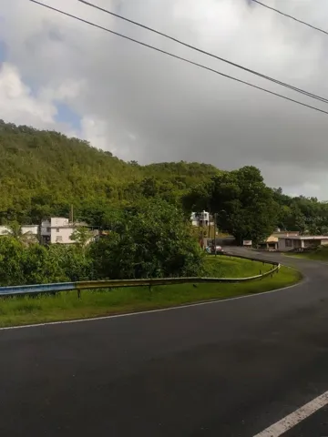
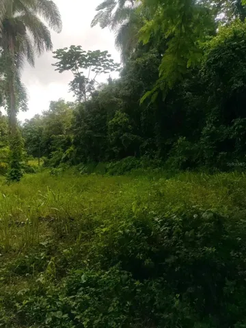
Lot of land of approximately 26.5 acres, located on the edge of highway 821 KM 1.9 in the El Quenepo Bo Sector. Abras Corozal. Flat and mountainous area with beautiful views. Fruit bushes, contains a water well. CR Rating..
Address
Open on Google Maps-
Address: CARR 821 KM 1.9
-
State/county: PR
-
Zip/Postal Code: 00783
-
Country: US
Details
Updated on December 23, 2024 at 2:27 pm-
Property ID PR9108075
-
Price $250,000
-
Land Area 25.73 Acres
-
Property Type Land
-
Property Status Active
Additional details
-
Utilities Other
-
Sewer None
-
County Corozal
-
Property Type Land
Mortgage Calculator
Monthly
-
Down Payment
-
Loan Amount
-
Monthly Mortgage Payment
-
Property Tax
-
Home Insurance
-
PMI
-
Monthly HOA Fees
360° Virtual Tour